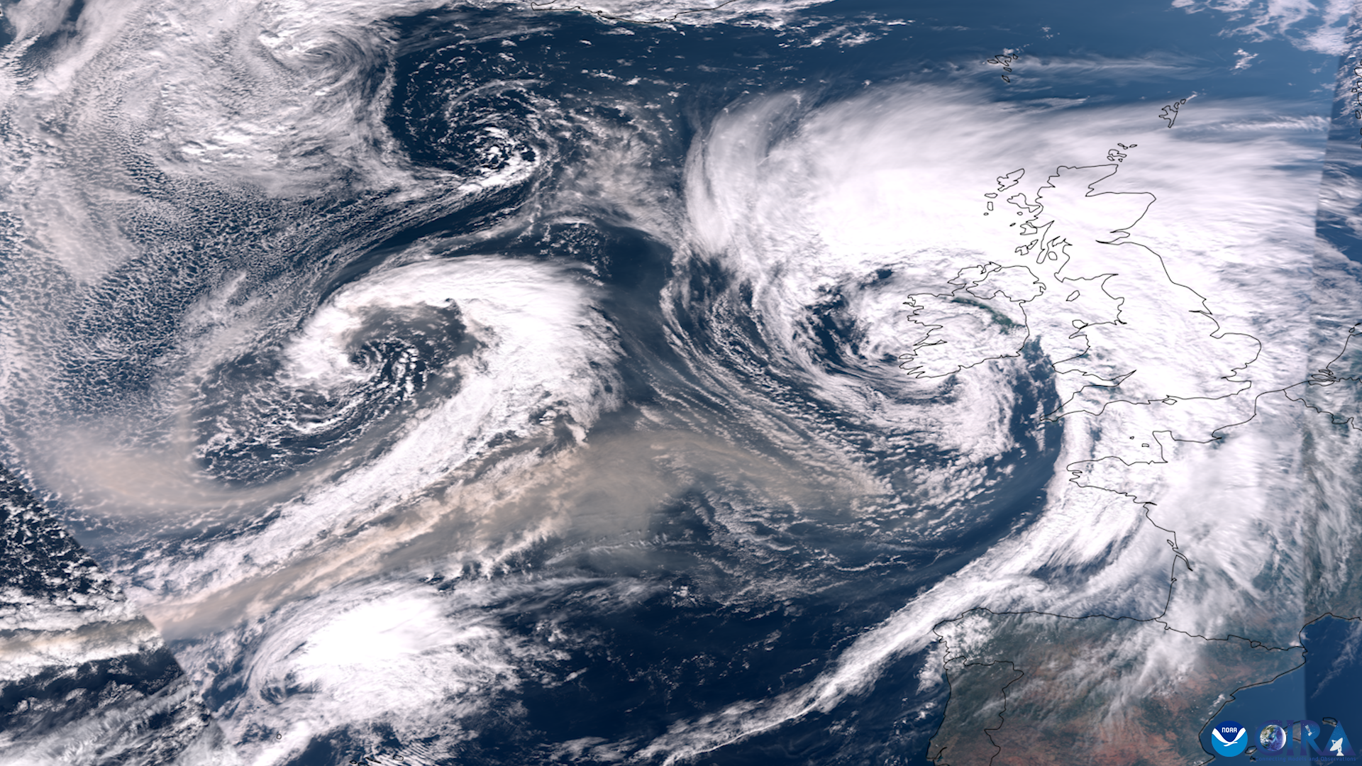
Many people have been concerned about the low ice coverage that has been observed and recorded in the last few years on the Great Lakes, and have been looking to NOAA experts for information. The current winter season (2023-24) began with very warm air temperatures, resulting in slow ice formation. January 2024 has included a sudden drop in temperatures, bringing forth the potential for big changes on the lake surfaces, and potentially more ice.
More than 27 million people live along the shorelines of the lakes, and ice is a huge part of life in the region. Thick ice protects the lakeshores from erosion and flooding during storms. Because ice cover prevents evaporation, a lack of ice creates the possibility for lake effect snow, causing snowfalls to become larger and more treacherous to nearby cities. Many local economies in the area rely on ice fishing and outdoor sports which can only happen if the ice is thick and solid. Some fish species (such as whitefish) also use the ice for protection from predators during spawning season, and there’s increasing evidence that the ice plays a role in regulating many biological processes in the water.
Researchers have been building a long-term data set about ice in the region for 50 years, since the advent of satellite technology. Satellite data that began in the 1970s complements on-the-ground observations made in the past and the present. Over time, data sets have grown to include radar and microwave observations made with cloud-penetrating technology, which allowed information about ice coverage to be gathered even on cloudy and stormy days.
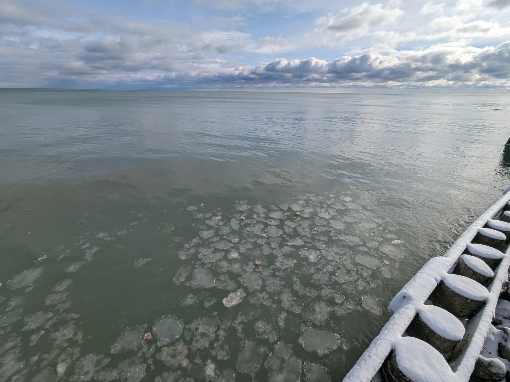
Pancake ice in Lake Huron near Oscoda, Michigan in January 2024. Credit: Gabrielle Farina/NOAA
“Long term ice data is incredibly important,” says James Kessler, a physical scientist at NOAA’s Great Lakes Environmental Research Laboratory in Ann Arbor. “It is important that we don’t just look at one day or even one season, but the overall trends through the decades.”
Data analysis, conducted by Kessler and many others working at GLERL, provides a detailed look at the overall trends:
- The average ice coverage for the five lakes between January 1 – January 15, 2024 was 1.4 percent. This is the second lowest amount of ice coverage on record for that same time period since 1973. (The lowest amount of ice coverage for that time period in January was 2007, when ice coverage was only 0.6 percent.)
- On average, the Great Lakes experience a basin-wide maximum in annual ice coverage of about 53%
- Last year at this time the coverage was approximately 4 percent, and in January 2022 there was about 2.35 percent ice coverage.
- There has been an overall downward trend here, with the annual maximum ice coverage decreasing by approximately 5 percent per decade for a 25 percent total decrease between 1973 and 2023.
- In 2002, the maximum ice coverage hit a record low of only 11.8 percent. This was the lowest recorded since 1973.
- It is not unusual to see low ice coverage early in the season. Maximum ice cover for the year usually comes closer to late February and early March.
- In 2019 – a year full of polar vortex-related low temperatures – maximum ice coverage reached 81 percent coverage which was the 8th highest year on record.
Read more about the connections between Great Lakes ice and climate here.
Media Contact: Alison Gillespie, alison.gillespie@noaa.gov, 202-713-6644